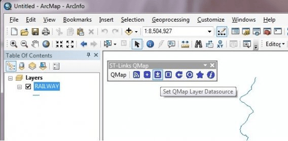
ST-Links QMap is an ArcMap extension created for directly using SQL Server 2008 /R2 spatial tables or views as ArcMap feature layers without ArcSDE or ArcGIS Server. With ST-Links QMap, ArcMap can work directly with SQL Server 2008 / R2 spatial database.
The main features of QMap include:
1. Add SQL Server 2008 / R2 spatial tables or views as ArcMap feature layers (QMap Layers).
2. Persist QMap Layers information within map documents or layer files.
3. Edit SQL Server 2008 / R2 spatial tables / views within ArcMap editing session.
4. Support both SQL Server 2008 / R2 Geometry and Geography spatial data types.
5. Support 2D, 2.5D, 3D (Z values, and M values).
6. Provide view extent and attribute query setting for filtering spatial data while mapping.
7. Align SQL Server Spatial Reference Identity (SRID) with ArcMap spatial references, and support customized spatial reference.
8. Support multi connections to one database or different databases in different servers.
9. Provide conversion and loading functions for Feature classes and SQL Server 2008 / R2 spatial.
10. Compatible with all SQL Server functionalities and enterprise business data models

Comments